1 / 14
Listing ID: HSF9fbe6c2c
Land for sale
Stags - Exeter, Farm Agency
7 days agoPrice: £200,000
EX5 , Broad Clyst ,
- Residential
- Land/Development
- 0 Bed(s)
- 0 Bath(s)
Features
Description
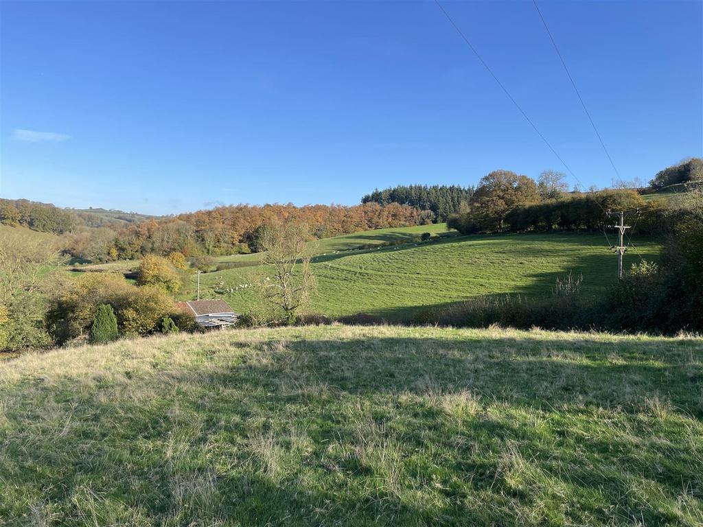
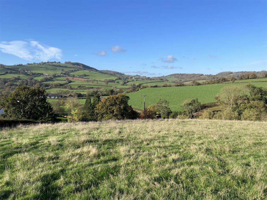
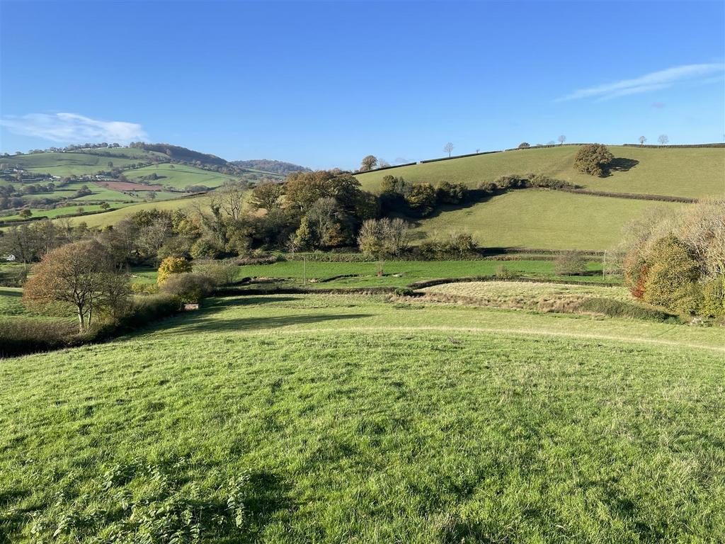
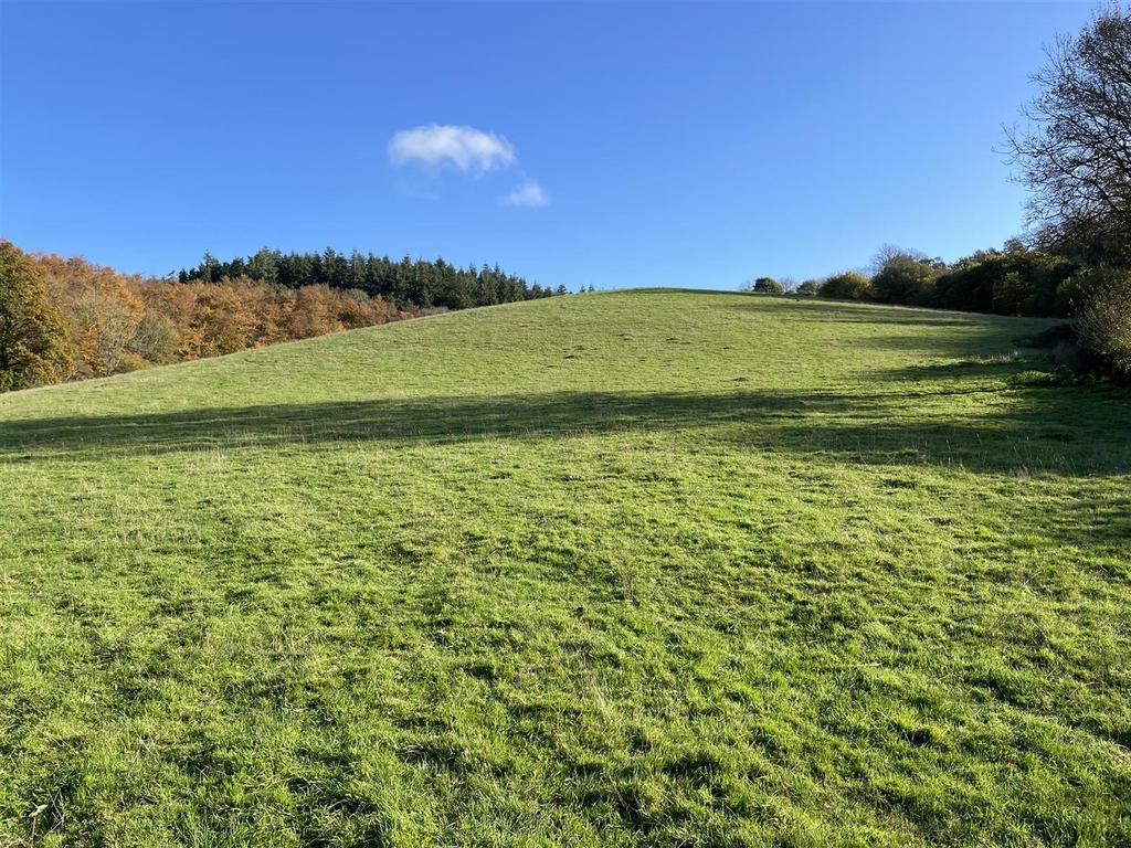
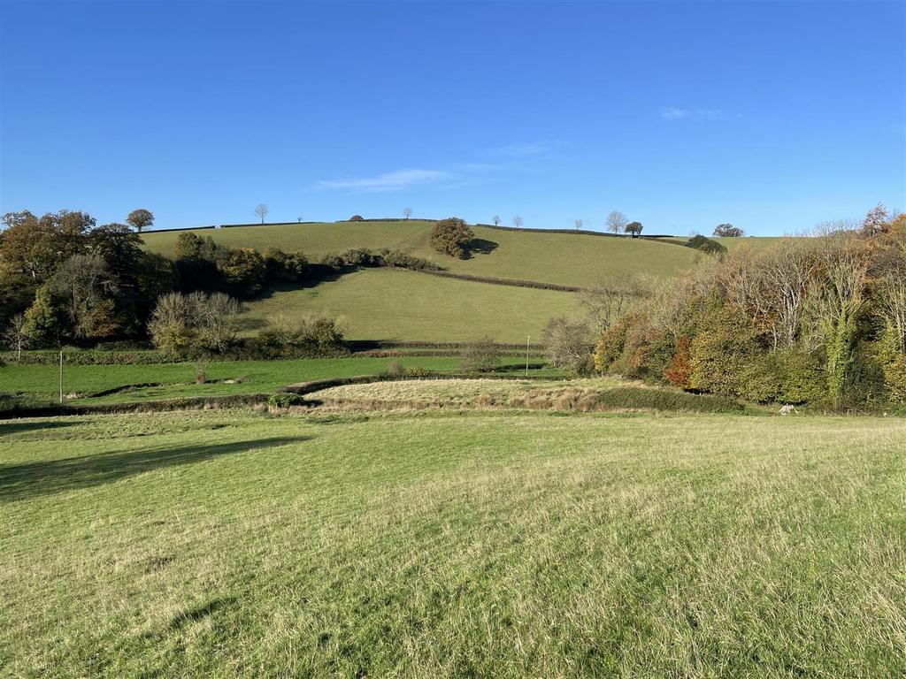
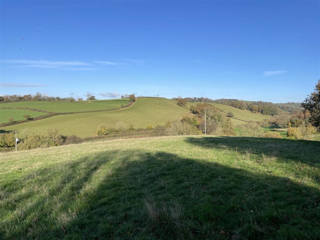
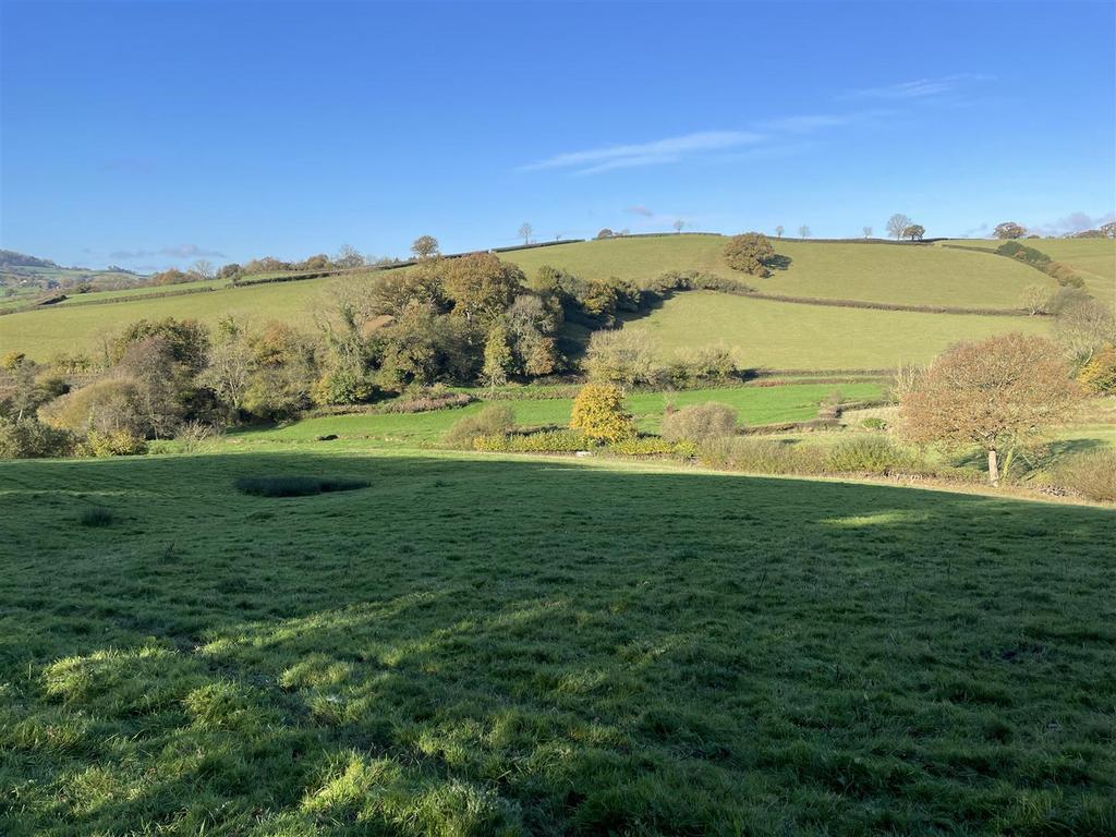
Gently sloping pasture land and a farm building, with fine views over the Exe Valley. 17.67 acres (7.15 hectares). Direct road access. Natural water. Three grass enclosures. For sale by private treaty. FREEHOLD.
Situation - The land is situated in the picturesque Burn River Valley and overlooks the Exe Valley, with the village of Bickleigh 1.9 miles to the north and the village of Silverton 2.2 miles to the south.
The market towns of Tiverton (5.5 miles) and Crediton (10 miles) are within easy reach and Exeter City Centre is 8.5 miles to the south.
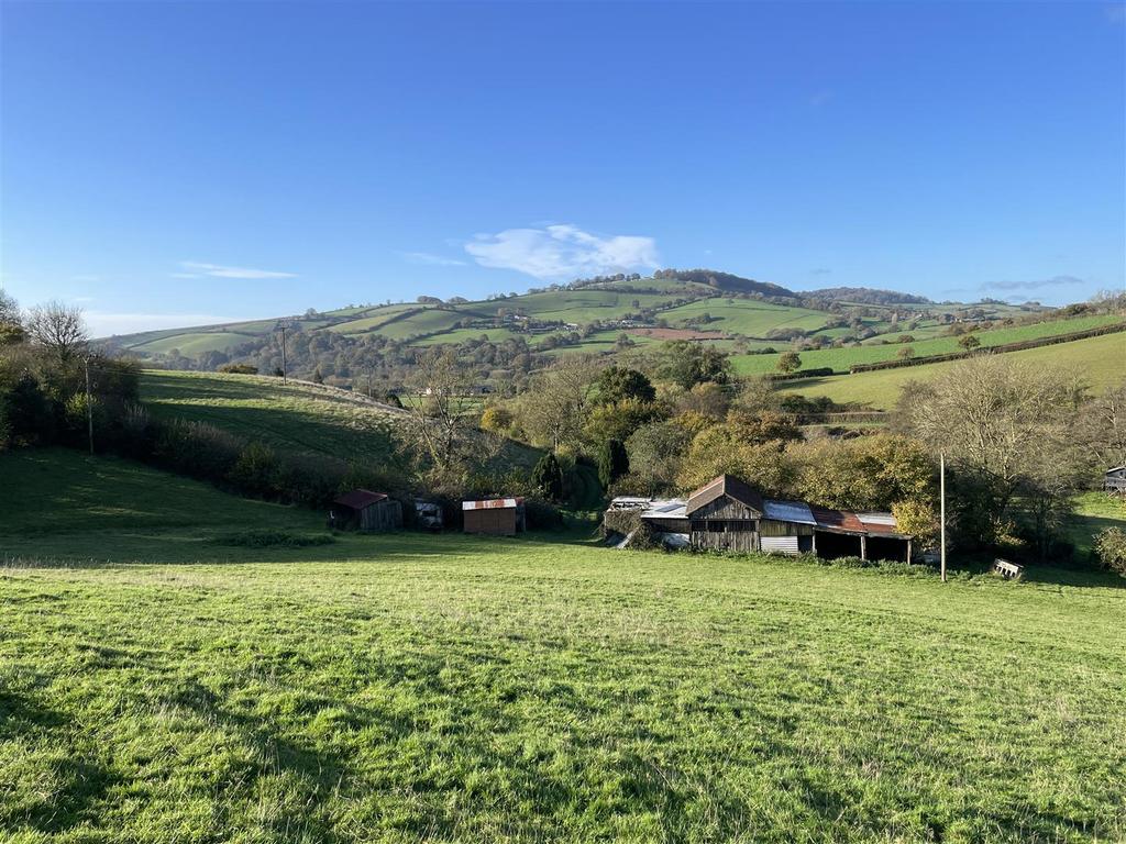
Description - The land totals approximately 17.67 acres (7.15 hectares) and comprises three grass fields which overlook the Burn River valley and the Exe Valley beyond.
The fields are gently sloping, lie at about 75 metres above sea level and are currently used for grazing with a west-facing aspect. The soils are described as freely draining slightly acid loamy soils and there are no public rights of way passing through the land.
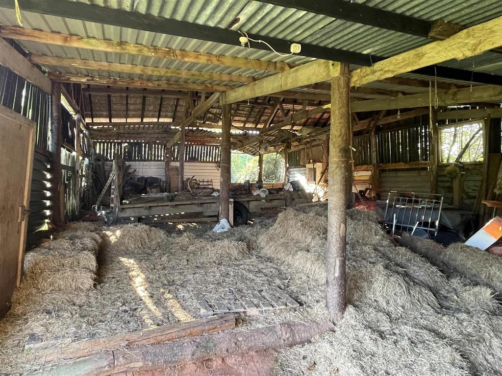
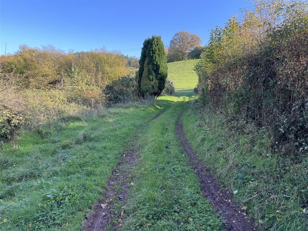
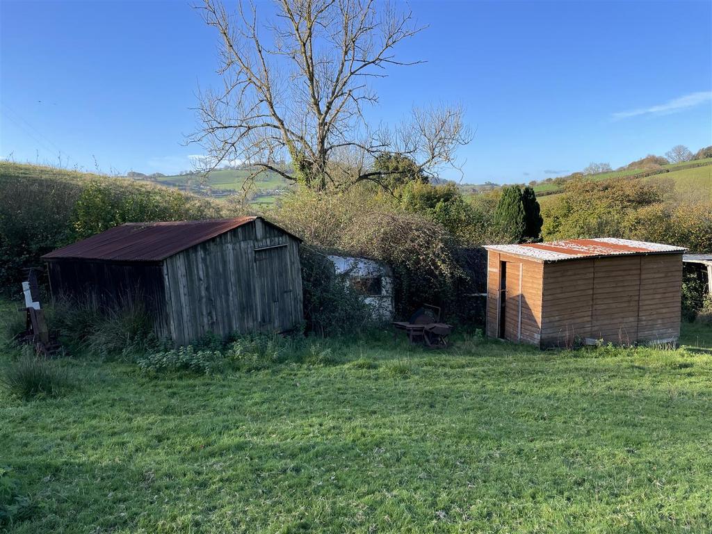
From the road there is a track which leads to the centre of the land where there is a timber framed farm building (measuring approximately 18.1m x 8.3m) which is used for machinery and livestock housing. There are also two further small storage buildings and a dilapidated timber hut.
There is also a caravan sited on the land, which has been used for seasonal accommodation since the late 1980's.
Access - There is access to the land from the public highway.
Services - There is a natural water supply to the land from a spring. No mains services are connected.
Method Of Sale - The land is offered for sale by private treaty, as one lot.
Tenure - The land is owned freehold and is registered on the Land Registry.
Vacant possession is available from the completion date.
Designations - The land is not within a Nitrate Vulnerable Zone (NVZ) and is not within any SSSI's.
Land Management - The land is not within any Countryside Stewardship (CS) or Sustainable Farming Incentive (SFI) agreements.
Local Authority - Mid Devon District Council.
Sporting And Mineral Rights - The sporting and mineral rights insofar as they are owned are included with the freehold.
Wayleaves & Rights Of Way - The property is sold subject to and with the benefit of any wayleave agreement and any public or private rights of way that may affect it.
There are no public rights of way passing through the land.
Boundary Plan - A plan which is not to scale, is included with these sale particulars for identification purposes only.
Viewing - Strictly by prior appointment with Stags. Call:[use Contact Agent Button] or [use Contact Agent Button] to arrange an appointment.
Directions - From Bickleigh, proceed south on the A396 towards Exeter and after 1.5 miles turn left at Higher Burn on to the road signed 'unsuitable for HGV's'.
Continue for 0.3 miles, pass the entrance to Burn Mill Farm and shortly afterwards as the road bears sharp right, the entrance to the land will be found on the left through a timber gate.
What3words - Reference/// tribes.telephone.bench
Disclaimer - Stags gives notice that: 1. These particulars are a general guide to the description of the property and are not to be relied upon for any purpose. 2. These particulars do not constitute part of an offer or contract. 3. The services have not been tested or assessed. Purchasers must satisfy themselves. 4. All photographs, measurements, floorplans and distances referred to are given as a guide only. 5. Whilst we have tried to describe the property as accurately as possible, if there is anything you have particular concerns over or sensitivities to, or would like further information about, please ask prior to arranging a viewing.
Location On The Map
EX5 , Broad Clyst ,
Loading...
Loading...
Loading...
Loading...
